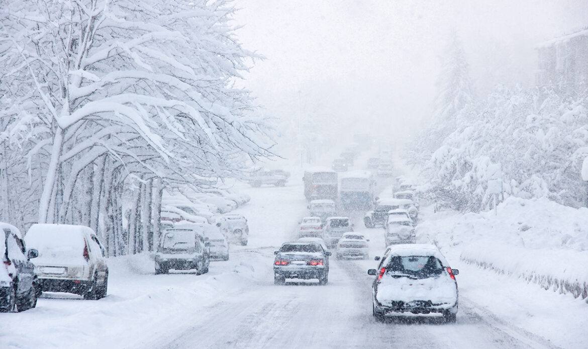
A brutal winter storm is sweeping across the US, with around 79% of the country expecting below-freezing temperatures early this week.
Over 140 daily cold records could be broken today and Tuesday from Oregon to
Mississippi as temperatures in Memphis, Dallas and Nashville could stay below
freezing for at least 72 consecutive hours. The storm has caused dangerous road
conditions and airports are experiencing thousands of delays and cancellations.
More than 4,000 flights within, into or out of the country, were postponed on Sunday, and over 1,000 were canceled, according to tracking site FlightAware. Residents in some states, including Texas, have also been urged to conserve electricity to prevent straining power grids.
Where the air will be a bit colder, there may be areas where 3-6 inches of snow will fall, mainly from north and west of Philadelphia, New York City and Boston.
Heavier snow is forecast to fall on the Appalachians from western Maryland to portions of West Virginia, eastern Kentucky and Tennessee. A general 6-12 inches of snow will pile up with an AccuWeather Local StormMax™ of 15 inches.
The fast movement of the storm will prevent heavier snow from falling on much of the northeastern United States, but snowfall rates will tend to ramp up over Atlantic Canada as the storm strengthens.
In the wake of the storm on Tuesday, Arctic air will linger, allowing untreated wet and slushy areas to freeze Tuesday evening and night. Motorists and pedestrians should use extra caution as many accidents occur after the storm as runoff and puddles freeze rather than as the snow falls.
Like the storm into Tuesday, odds are against a widespread heavy snowfall, but it will have to be watched for last-minute strengthening, which could result in heavier precipitation. The slight rise in temperature ahead of the late-week storm could result in some mixed precipitation along and south and east of I-95.
